Anyone who has used Viewranger as a navigation aid in the hills over the past few years may be aware that they have been bought over by Outdooractive who have been encouraging users to move to them. Viewranger has still remained and was usable although they stopped subscriptions some time ago, neither was it possible to buy the many available maps in Viewranger. So the end was in sight for Viewranger and it was recenly announced that the app will close in February 2022. There will be no choice but to move to Outdooractive. (Other apps are available). With this in mind I have been trying to come to grips with the new app. The new app has been in development for some time and they have been taking on the Viewranger features bit by bit. Initial reviews of the app been very poor, however, I think things are gradually improving albeit there is still a way to go.
Ooutdooractive is subscription based. There is a basic free version but to have any worthwhile features you have to have either a pro subscription (£2.23 per month) or Pro+ (£4.45) per month. With a Pro subscription you will have access to many different worldwide maps, including all of the OS maps for GB and Northern Ireland.
There are still some important things missing. They don’t yet have OS Ireland mapping, so in ROI you only have access to the basic map. They have promised that this will be available before Viewranger ends in Feb 22. It remains to be seen. They have included Grid References with the GB Ordanance Survey mapping but of course that does not cover Northern Ireland as we are on the Irish Grid, that can only be sorted when they have the OS Ireland map.
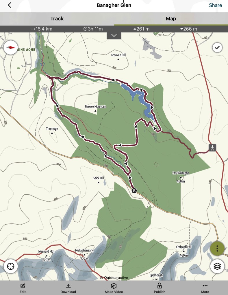
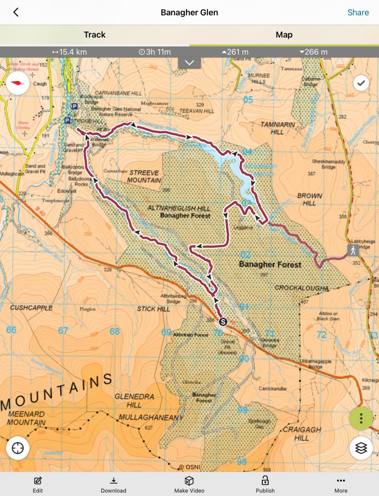
You can import a GPS track into the app as was the case in Viewranger, however, it can only be one track at a time. Viewranger allowed import of a file including a number of tacks, for a particular area. They have no indication of a timeframe to fix this.
If you have had a Viewranger subscription or had bought maps in Viewranger Outdooracive gave a free Pro or Pro+ subscription, depending on what you had. You had to link your Viewranger account to a new OA account to get this. I have therefore been on a Pro+ trial for some time now. There are many good features in OA but thats for another day and the jurys still out on whether it will be a good replacement for Viewranger.